An Instrument of Change
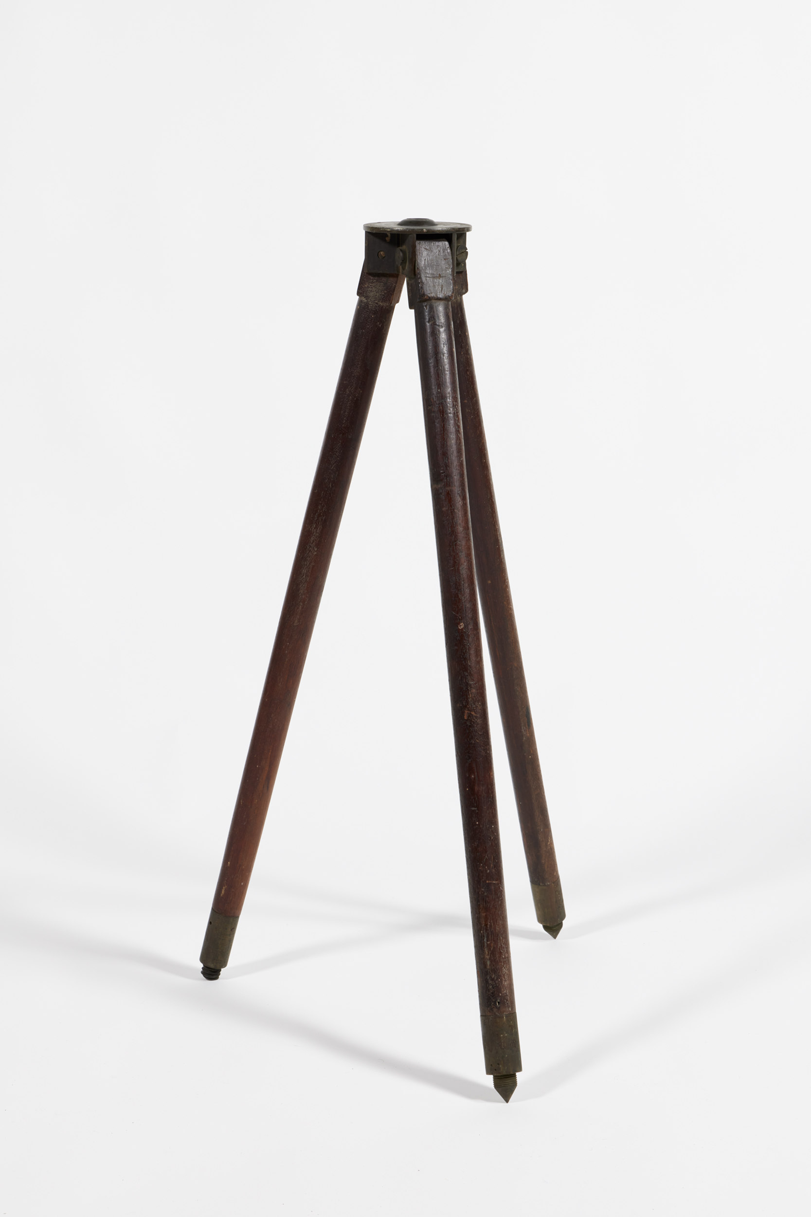
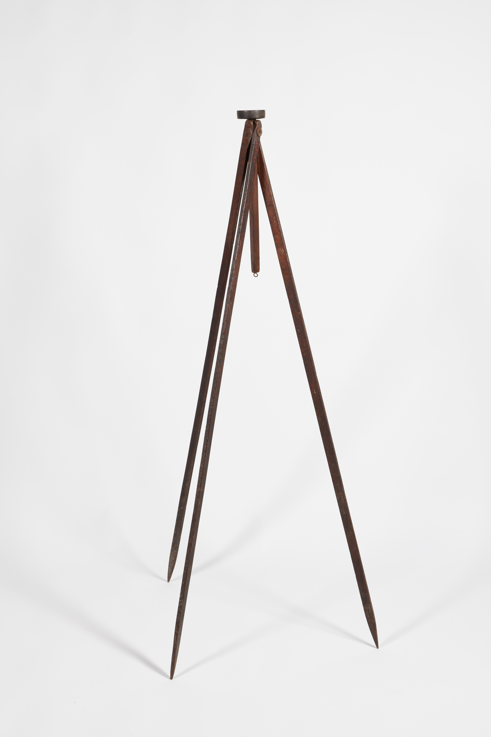
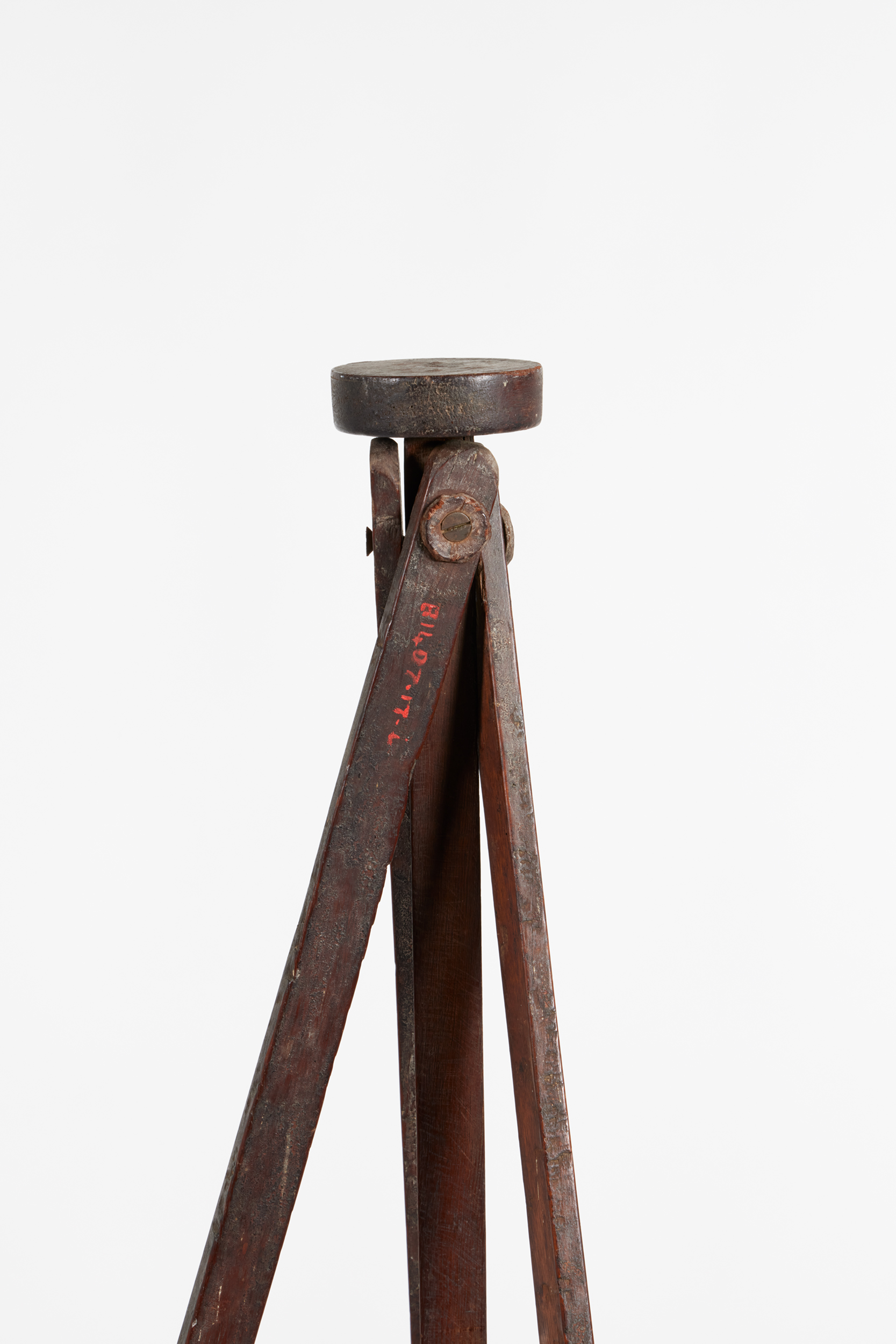
The Surveying Equipment of James C. Wilson
It is not clear how James Wilson (1834-1901) had obtained his ‘thorough knowledge of surveying.’ His family connections, his schooling, nor his early work in the English postal service can account for this skill which became so valuable to his adopted community in Broughton Creek (now known as Berry, New South Wales).
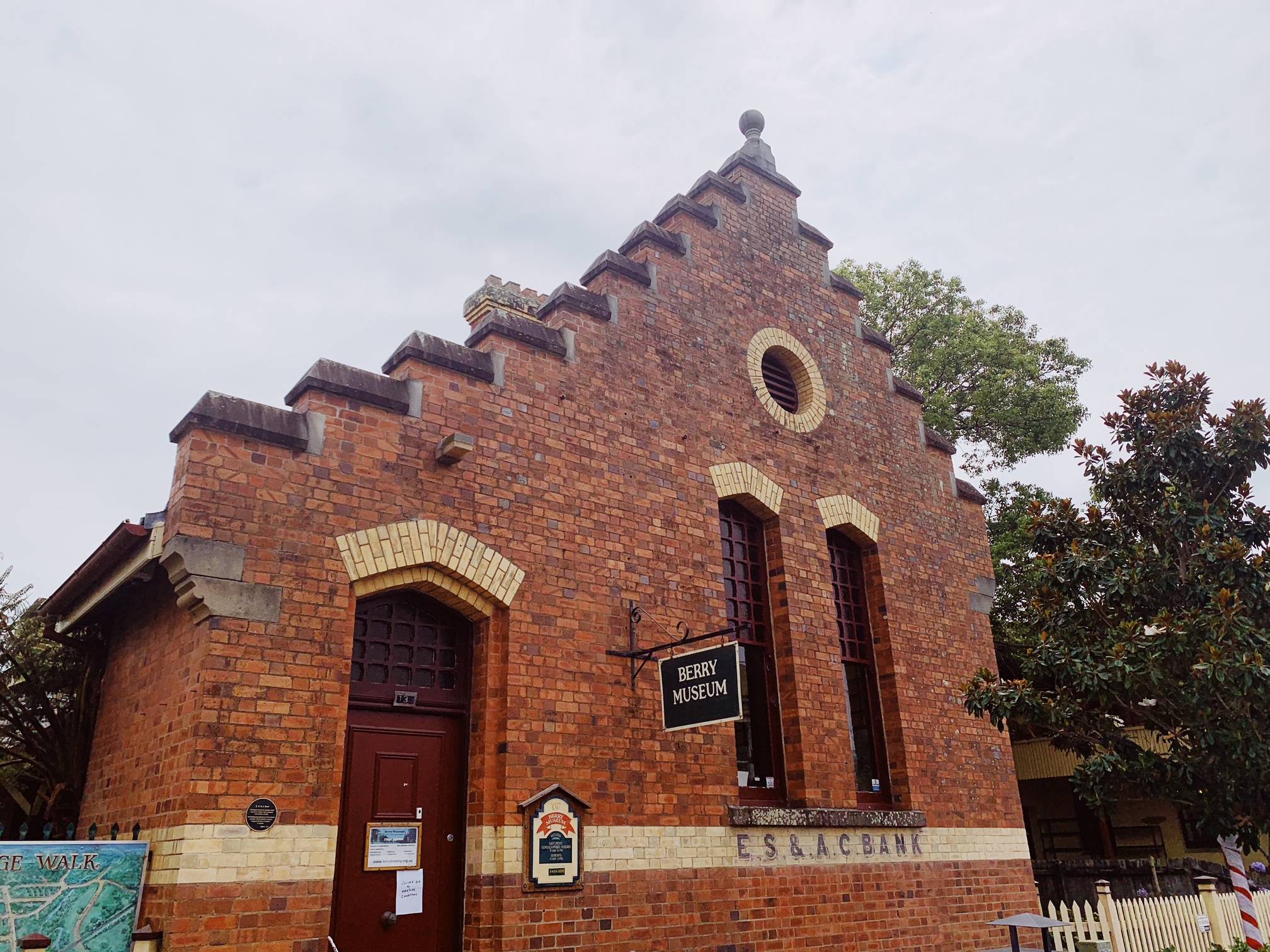
Wilson was born in Ireland and arrived in Australia in 1857. After arriving, he immediately began work on the Berry Estate and quickly found himself at the centre of civic life in the district. He co-founded and operated of one the largest businesses in the area, Wilson & Co Stores; signed a petition to form the Borough; and would become the first town Mayor.
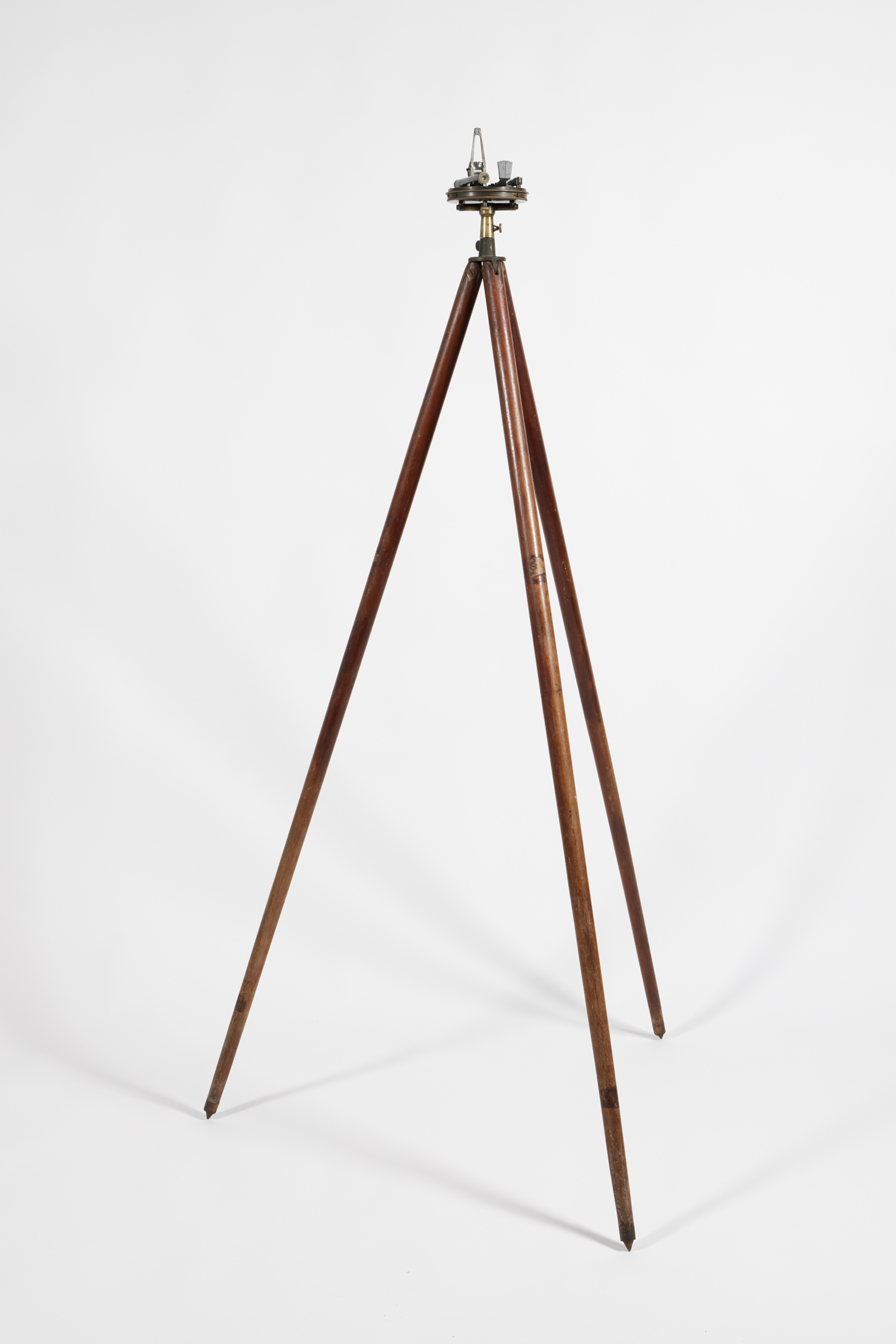
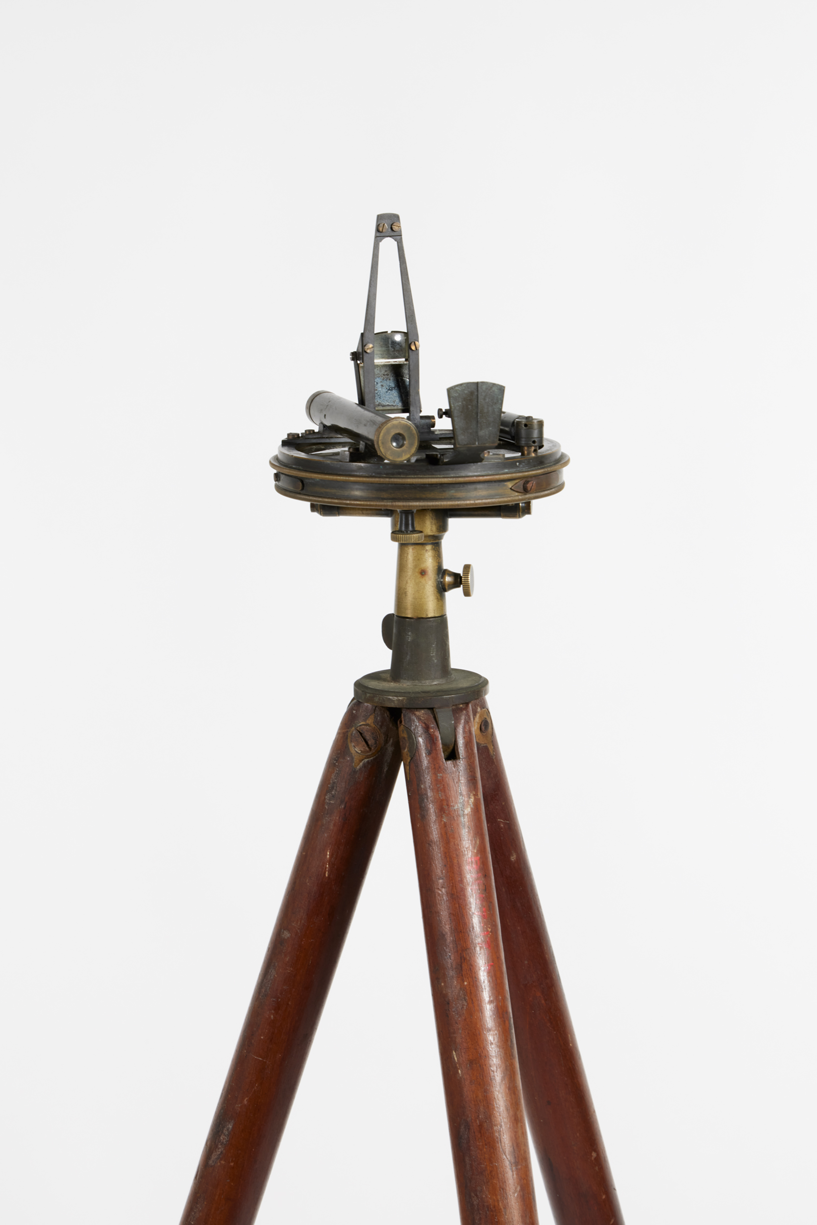
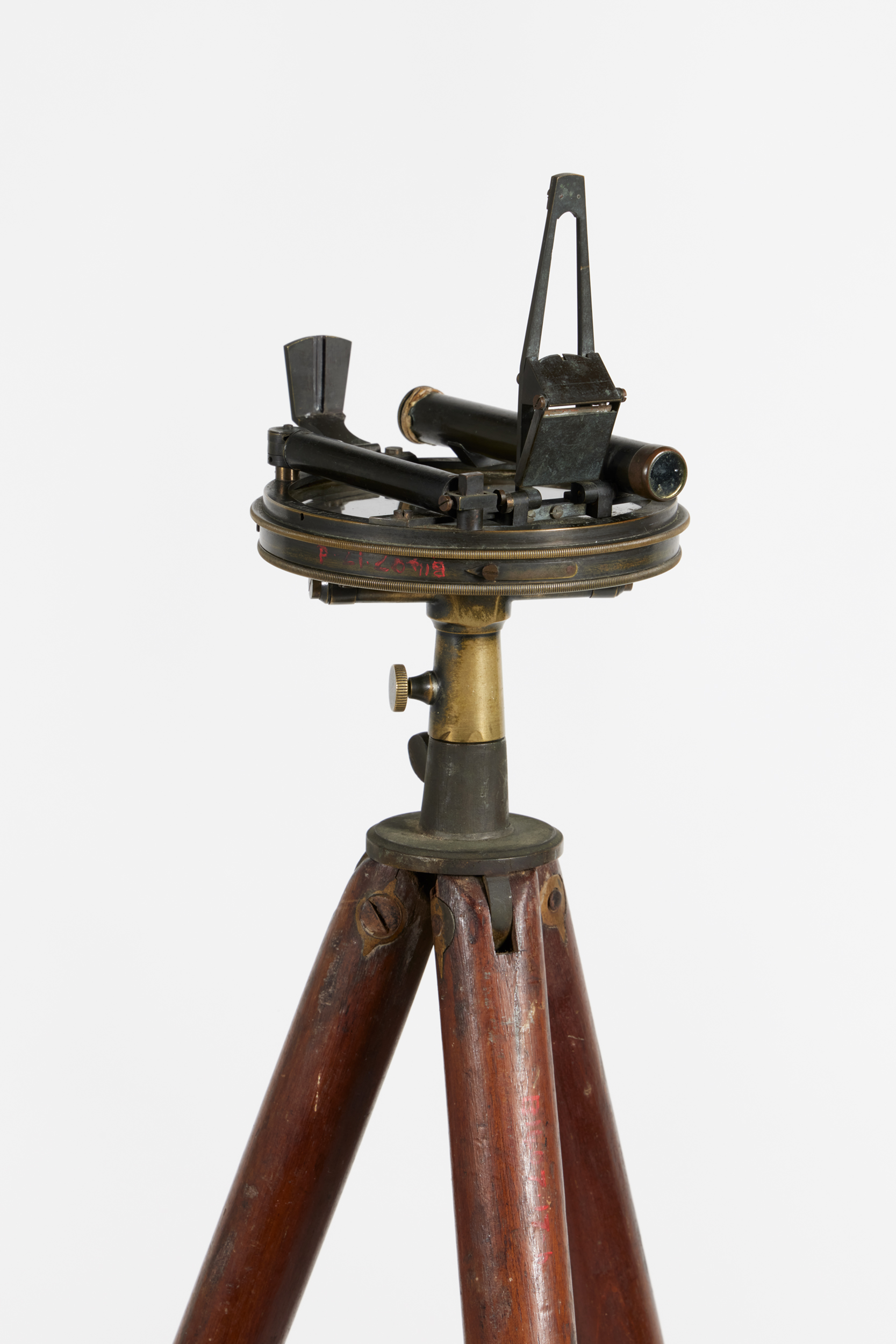
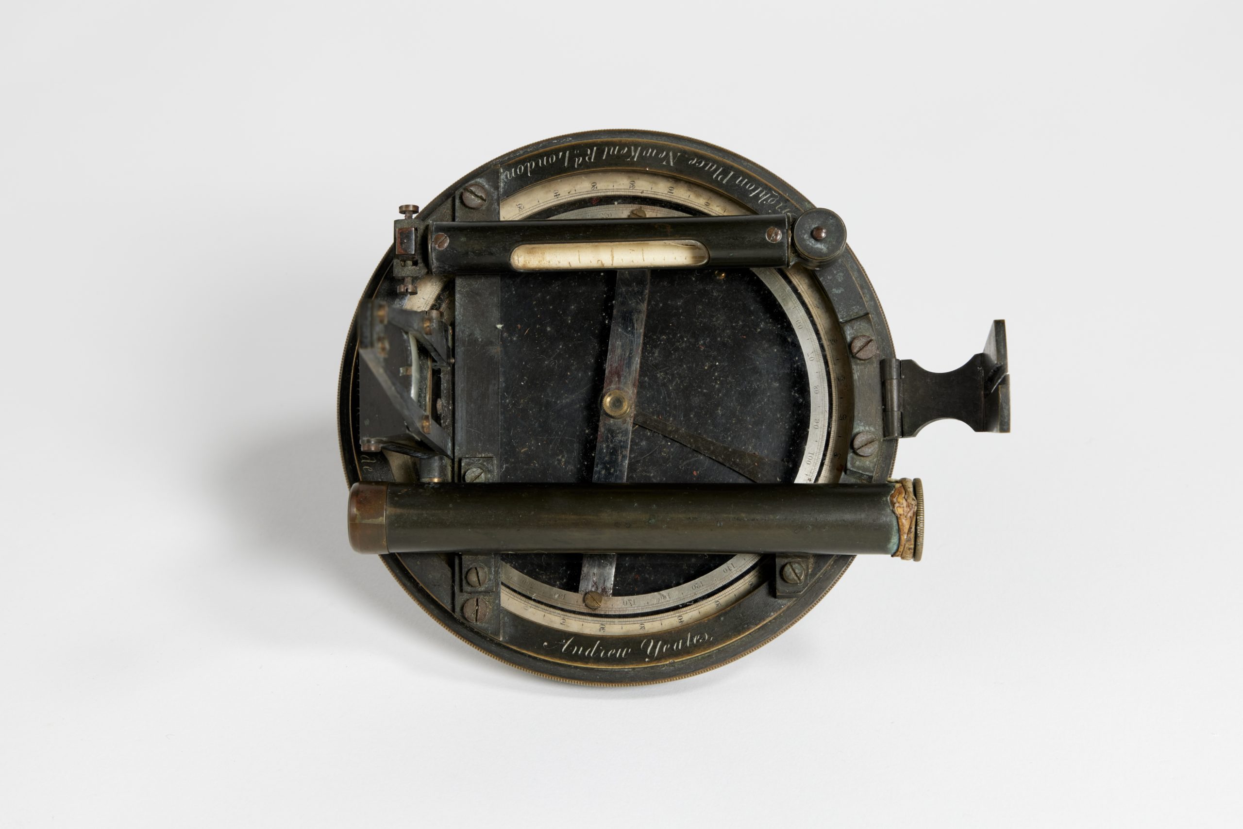
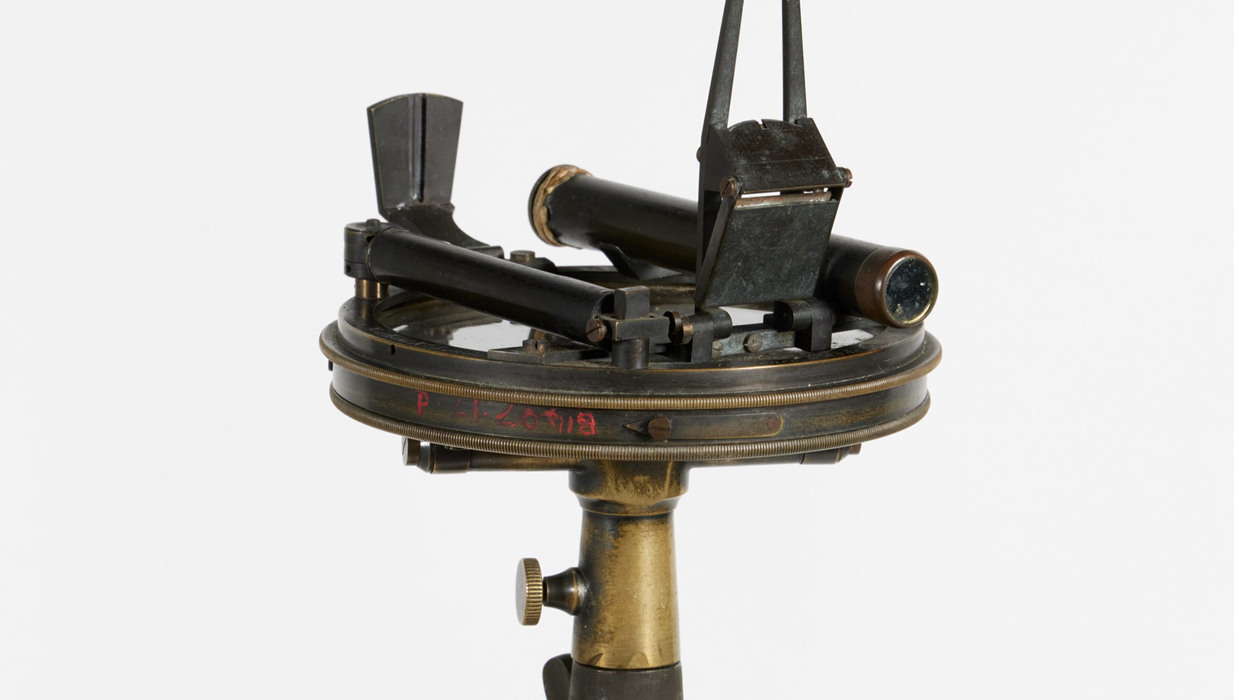
To a settler like Wilson, there was no question that the landscape needed to be tamed and transformed to suit the needs of the settlement. To this end, Wilson used this tripod and theodolite to make exact measurements of the area for engineering, construction, and map-making purposes. The theodolite, placed on the tripod, helped detail differences in elevation and measure horizontal and vertical angles.
These tools were vital for laying out a township grid, identifying suitable ground for construction, and establishing roads to Gerringong, followed by others to Kiama and Nowra. These roads made week-long, perilous return journeys on rugged tracks a thing of the past.
The development of the Berry township and surrounding roads and farmlands resulted in the dispossession of the traditional owners of the area, the Wodi Wodi people. Tools such as these were instrumental in this process of colonisation.