Borders Redrawn
The Beginnings of a National Defence Force
Prior to Federation, the six colonies were truly separate entities, each with borders maintained by their own small militia. But small permanent forces supported by volunteers and British naval patrols were not going to cut it long-term.
The fallibility of these forces was broadly understood and so the formation of the Commonwealth of Australia in 1901 meant great change was to come.
To assist with establishment of a new national defence force, the Defence Act was passed and each state was allocated military districts.
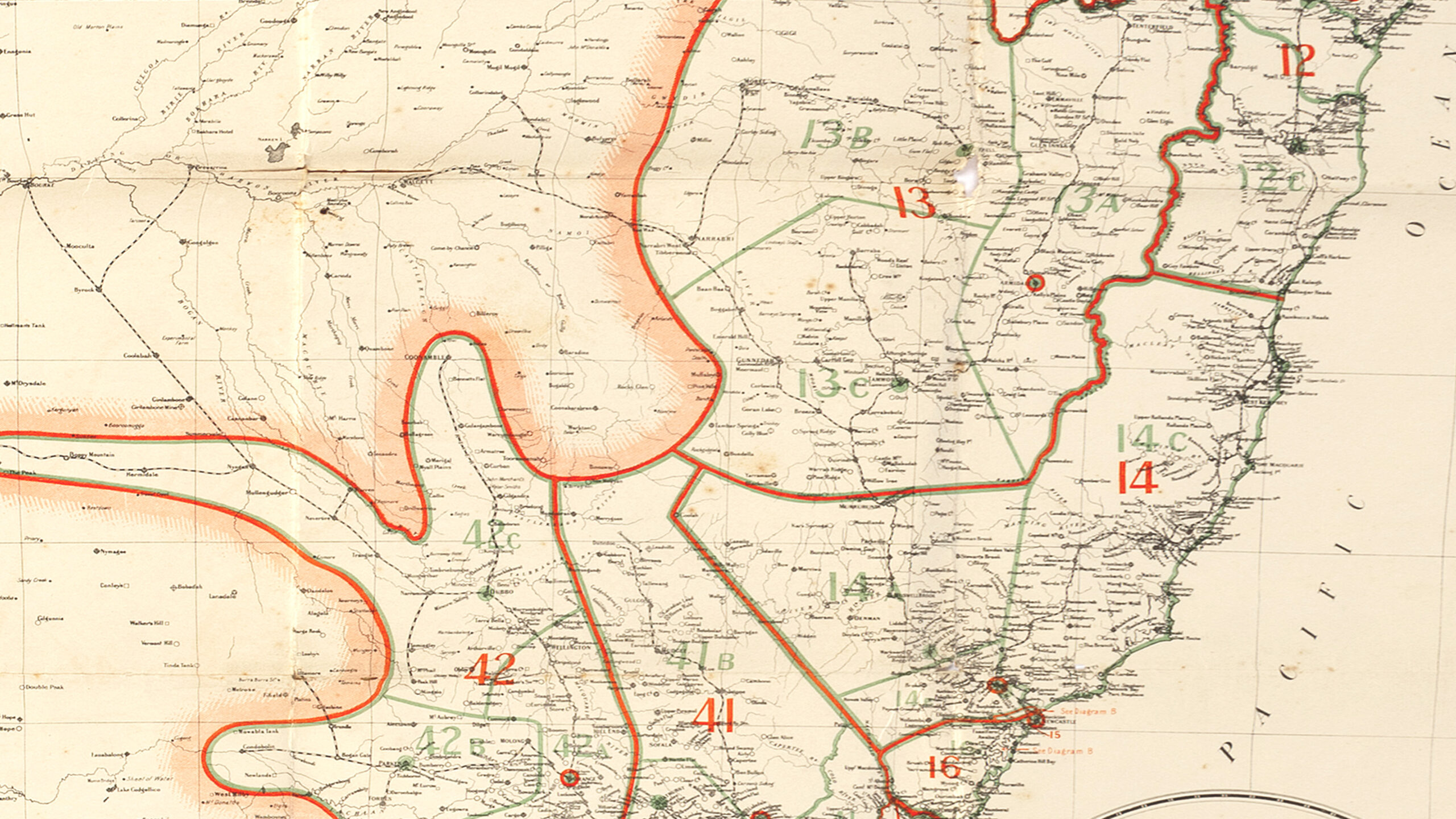
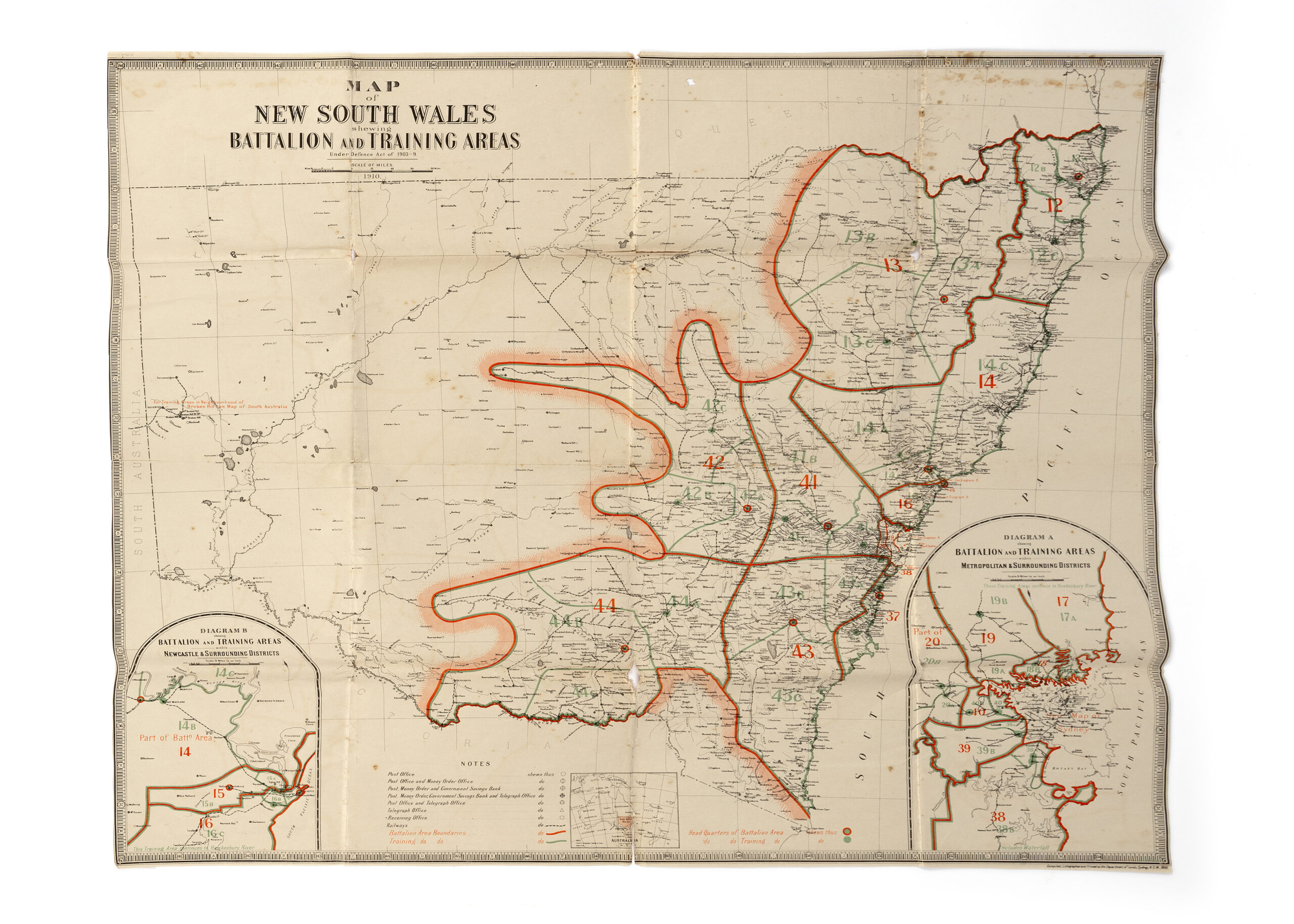
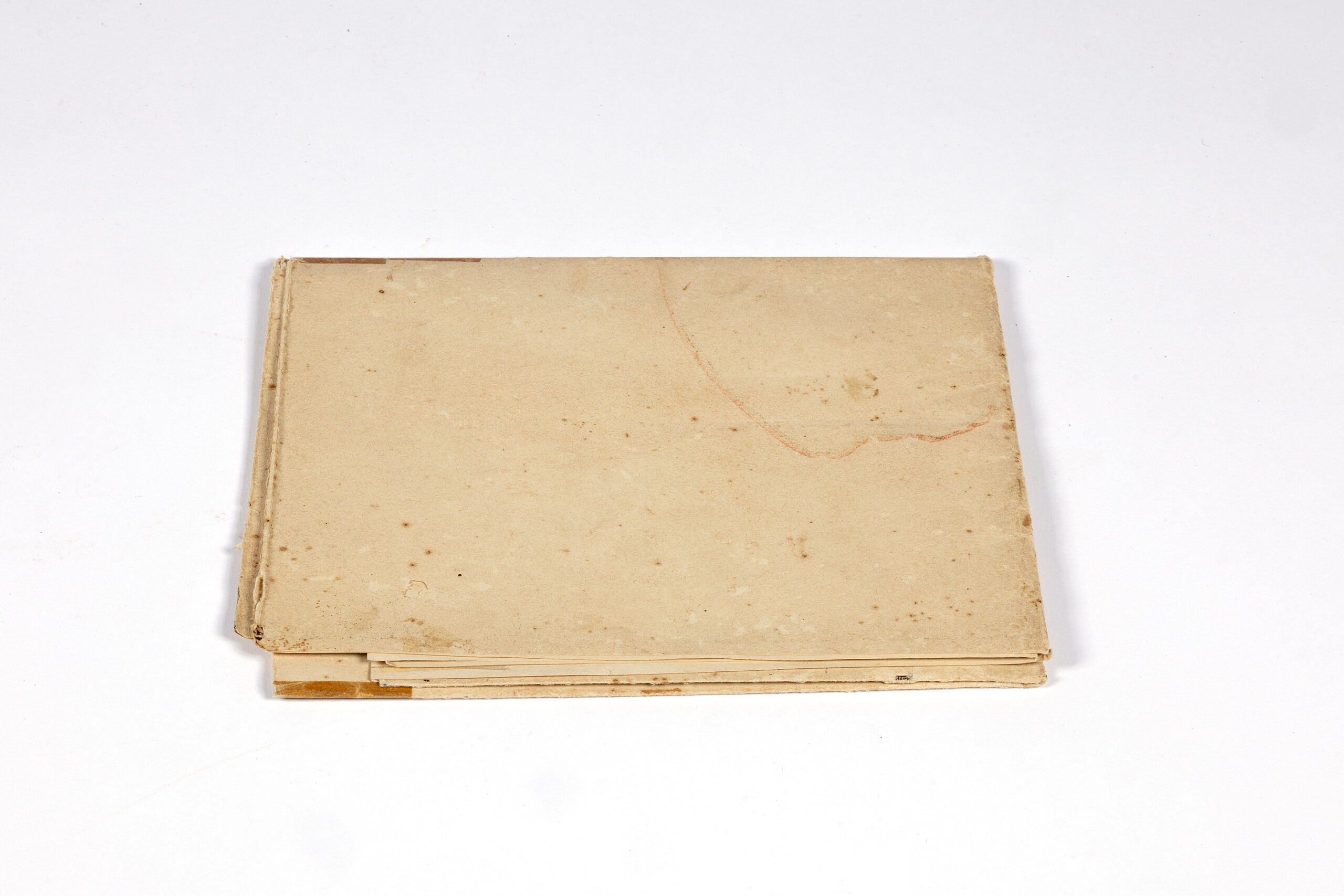
This coloured map depicts the military districts of NSW broken down into brigade areas, as allocated in 1910. Each brigade area was then subdivided into battalions which had training areas that were independently supervised by an area officer.
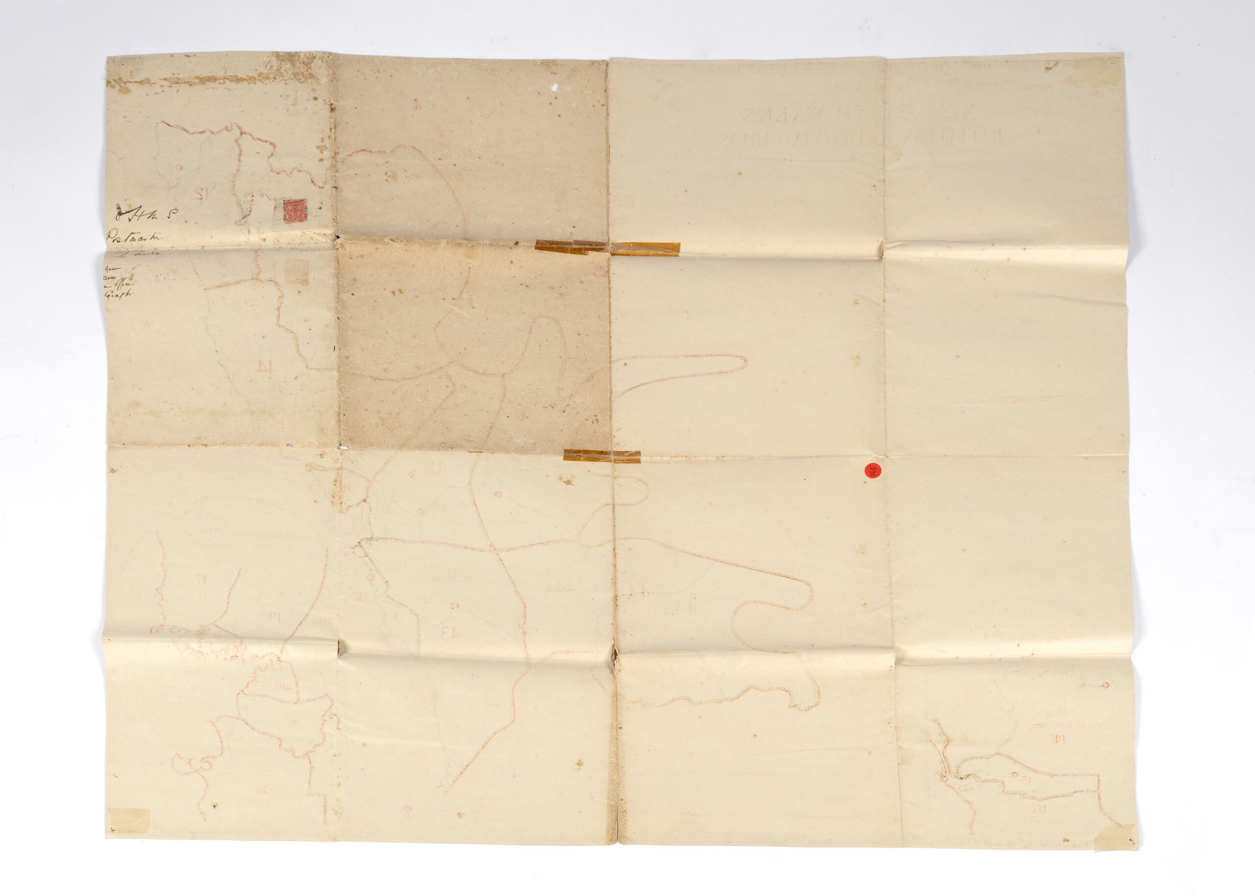
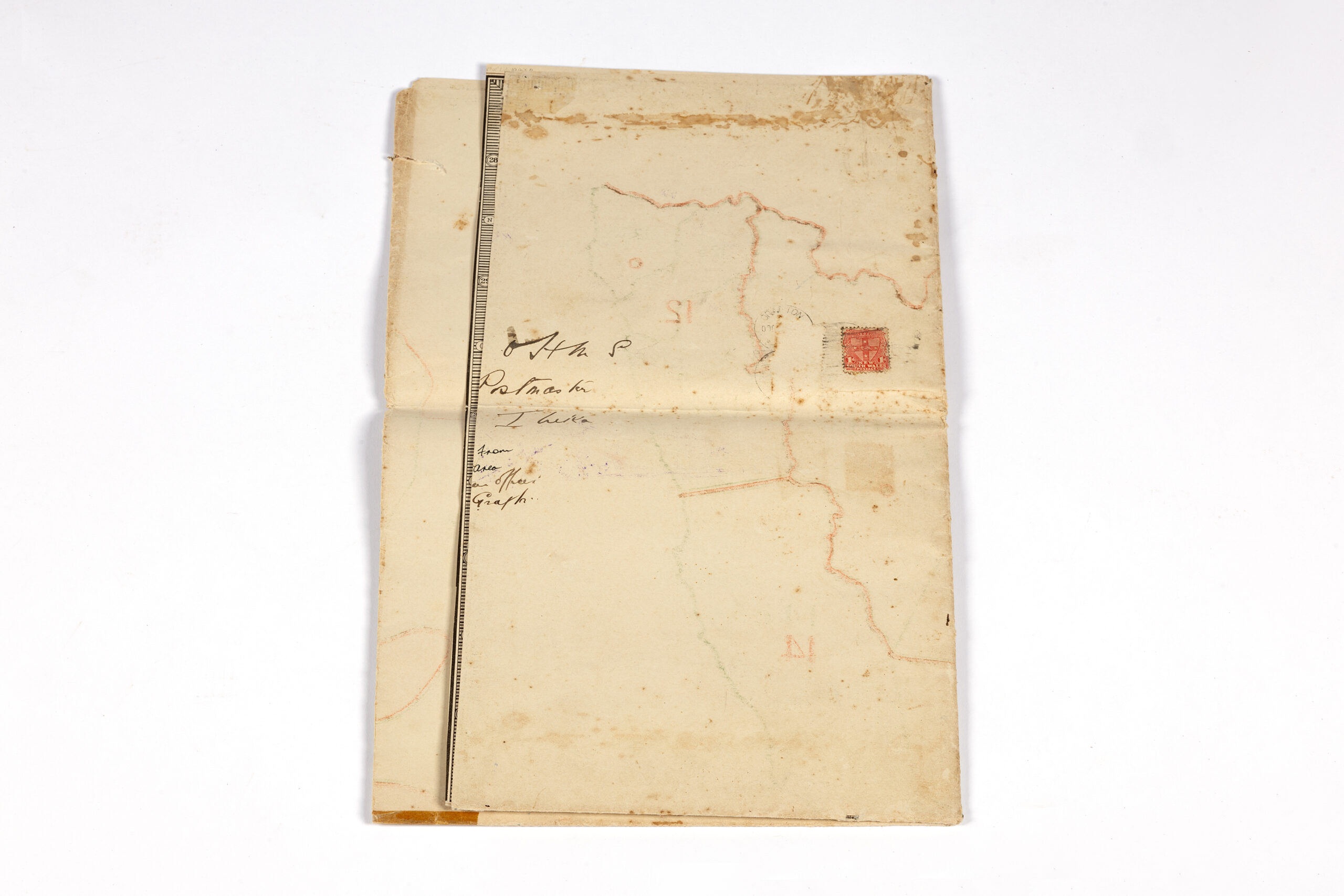
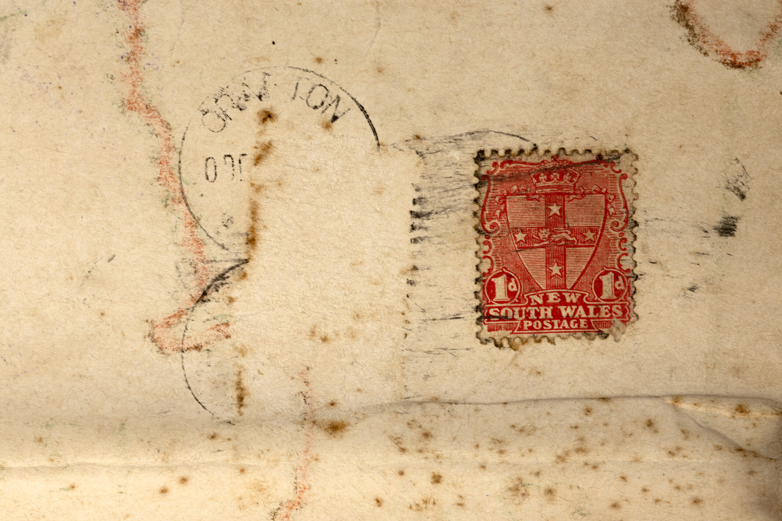
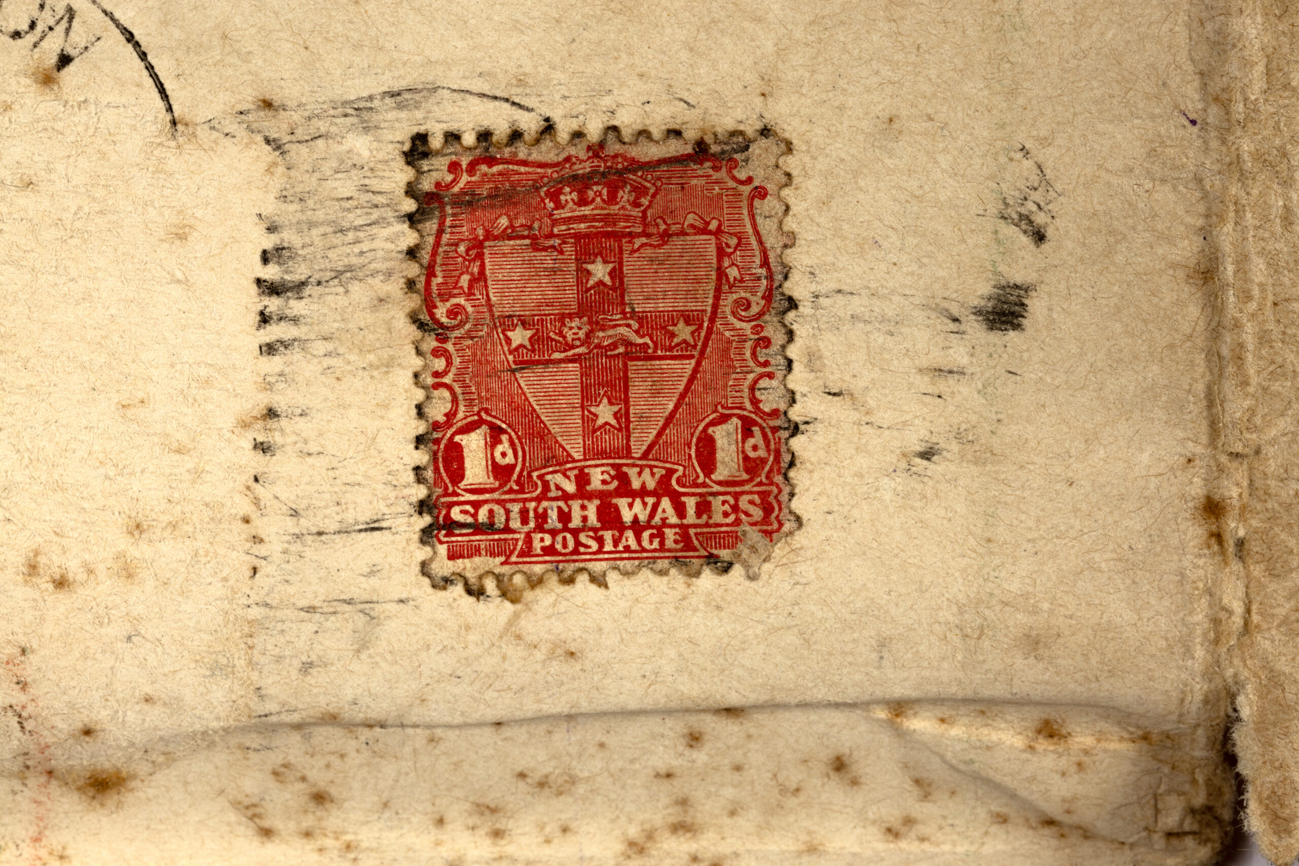
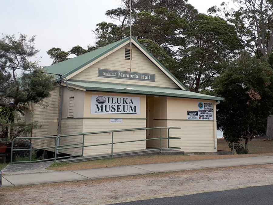
News of any changes were disseminated to post offices – now made easier with the removal of trade restrictions which previously made it difficult to travel between each colony. This particular map was sent to John Hickey, the Iluka Postmaster, from the HMS Area Office in Grafton.
Whenever a Postmaster received information such as this, they were responsible for relaying it to their local area officer and the town itself. At this time, it appears John would have been notifying the locals that Iluka fell under District 12A, but that wouldn’t stay the same for long.
It is hard to know if he was aware that in a few years Australia’s military would be put the test for the first time when it became a small player in global conflict.


