Links to the Land
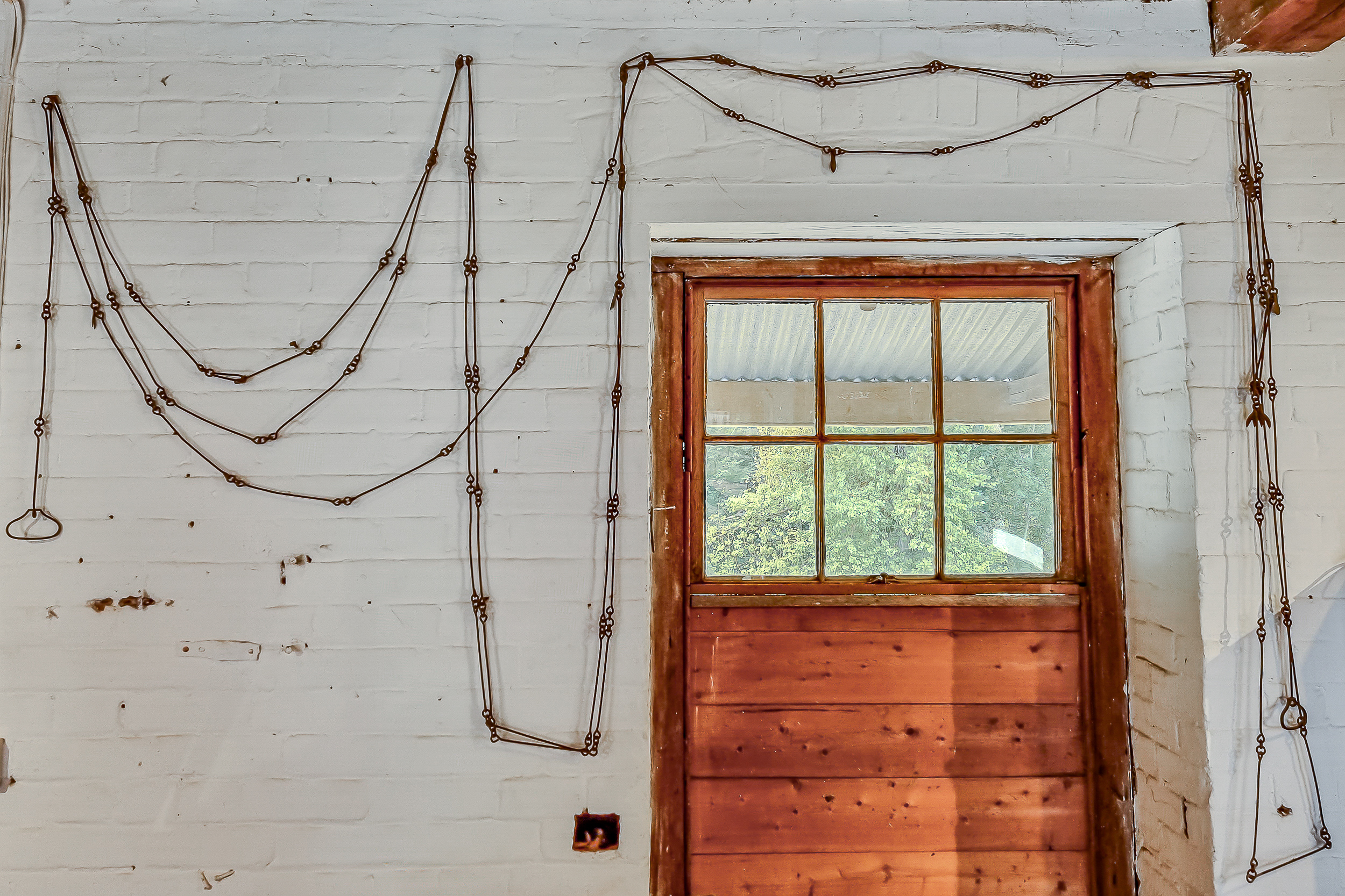
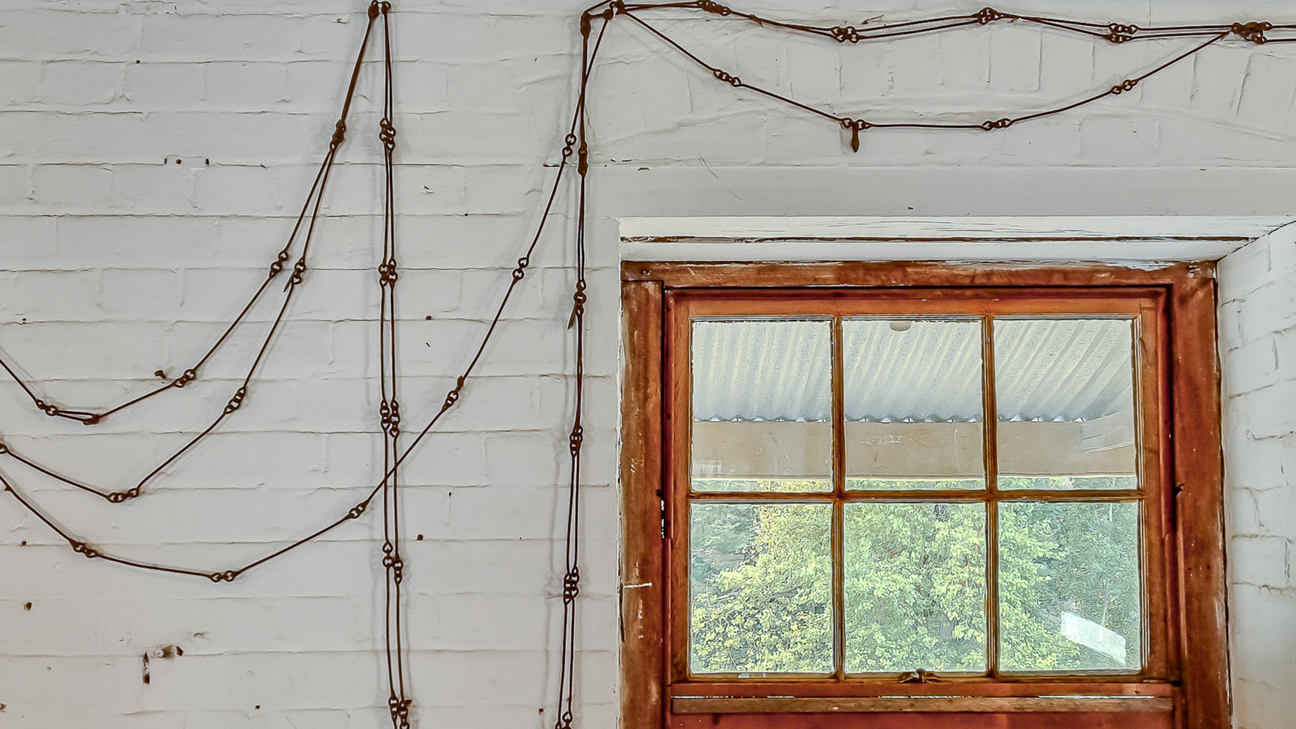
Using Gunter's Chain to Survey Rockley
When European settlers were marking out parcels of land in Rockley, a Gunter’s chain just like this one would have been used by the surveyors. Measuring sixty-six feet in length and consisting of one hundred links (each 7.92 inches in length and marked off in groups of ten), the chain was attached to a stake and then stretched from this point and pegged at the other end to mark the boundary lines.
Although simple in its construction, Gunter’s chain relies on elegant and historic mathematics. Its basic units include the inch (equivalent to three barley-corns) and the rod, pole, or perch, measuring 16.5 feet (or twenty-five links). Historically, this measurement matched the length of the pole used to control oxen during ploughing. Land area was commonly measured using acres, with an acre equal to forty perches by four perches or ten chains by one chain.
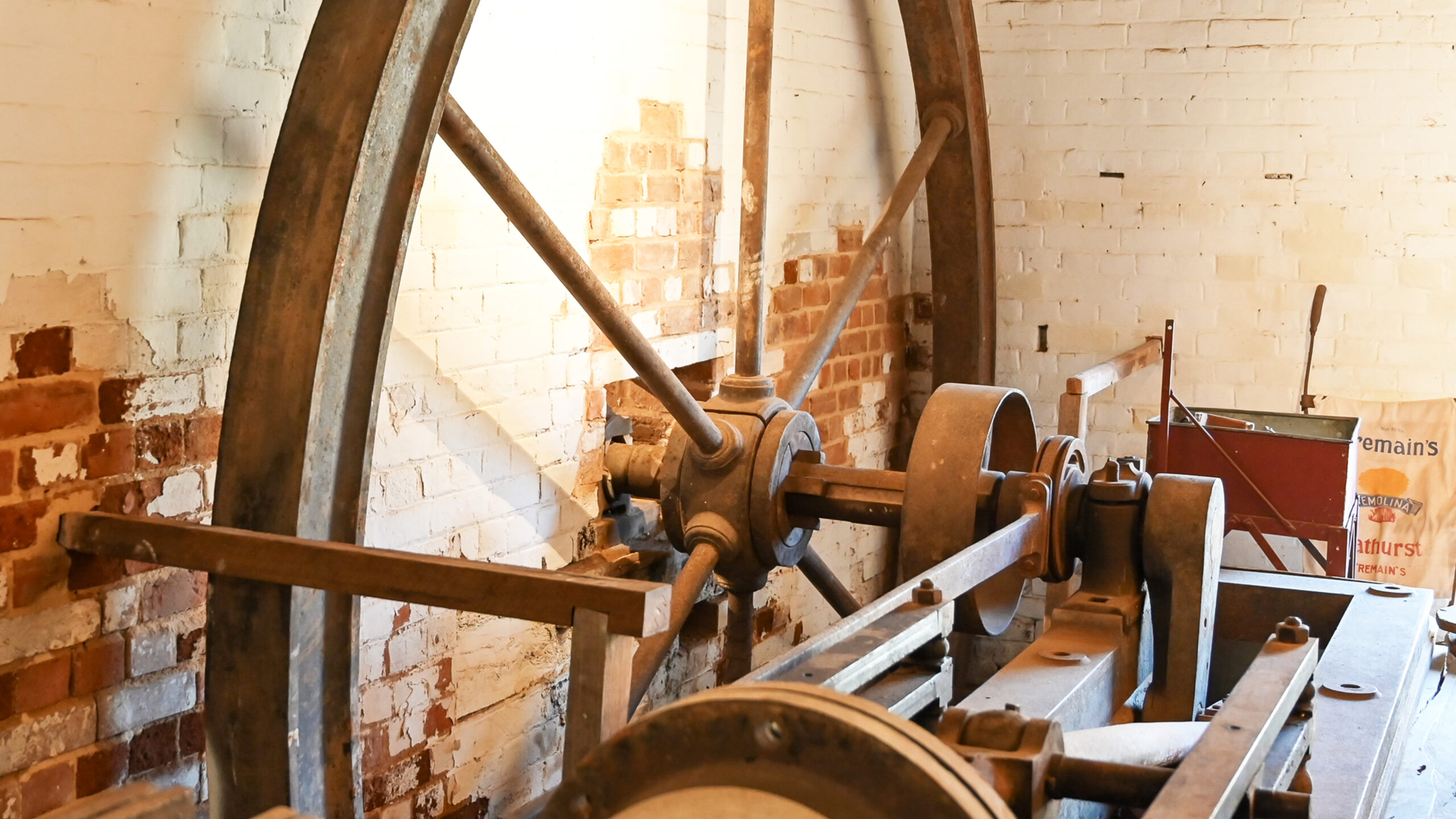
A Gunter’s Chain can be seen at work in original land surveys of Rockley. For example, the old mill is located on allotment six of section two with an area of half an acre, one chain wide and five chains deep. In 1889, Rockley Water Reserve was surveyed to have a perimeter of four chains and seventy-nine links along Hill Street, and nine chains and 24.25 links along Budden Street.
This chain differs little to that first devised by Edmund Gunter (1581–1626) to formalise and reconcile traditional forms of land measurement based on the number four and a decimal system. Although Gunter’s chain was rarely used as a surveyor’s tool by 1900, it had been used – relatively unchanged in design – from 1620. A feat matched by few other technical instruments and certainly worthy of note.